|
Feature of the clouds which look like earthquake ones
"Atoms have consciousness" with images
Date: 5/20/2015 8:55:40 AM ( 9 y ) ... viewed 579 times
Feature of the clouds which look like earthquake ones
By Miss Taeko Shiraki
2003
http://sora.ishikami.jp/image_dir/special/cloud/#2003
2004
http://sora.ishikami.jp/image_dir/special/cloud/#2004
2005
http://sora.ishikami.jp/image_dir/special/cloud/#2005
●Moved here after 2006●
http://sora.ishikami.jp/image_earth/
-----------------------------------------------------------
-----------------------------------------------------------
The year:2005
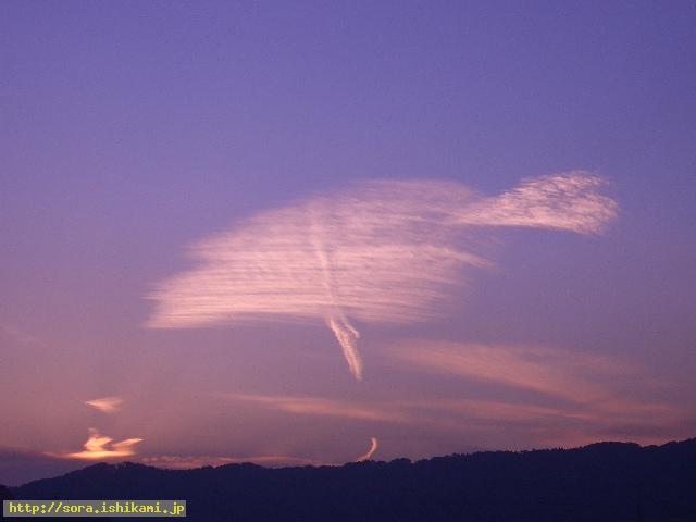
11/2: This photo was shot around 16:30 by a reader in Yokohama. It is the sky seen in the west from Yokohama.
http://slicer93.mbsrv.net/2005110201.jpg
Stone god on the ground made the clouds which extend lengthwise as he wanted me to inform the small earthquake will occur. Stone god represented alter ego turned up from Stone gods by the cloud. The purplish red represents the anger against the persons who attack this information.
-----------------------------------------------------------
10/31:A reader in Hyogo Prefecture shot this photo.

http://slicer93.mbsrv.net/2005103103.jpg
Nov. 1 The earthquake occurred in the northern part of the coast of Iwate Prefecture. depth 70km M4.2 Seismic intensity 3 in Iwate Prefecture
Nov. 1 An earthquake occurred in the southern part of the inland of Iwate Prefecture. depth 10 km M4.6 Seismic intensity 3 in Miyagi Prefecture
Nov. 1 The earthquake occurred in Kii Channel depth 50km M4.5 Seismic intensity is 4 in Wakayama Prefecture
Thereafter
Nov. 2 The earthquake occurred in the southern part of inland of Iwate Prefecture depth 90km M4.4 Seismic intensity is 2 in Iwate and Miyagi Prefecture
-----------------------------------------------------------
10/31: North direction was shot from Sapporo-city.

http://slicer93.mbsrv.net/2005103101.jpg
Left direction was shot around 13:30. Right direction was shot around 16:30.
Stone god tells it is the earthquake cloud.
As the upper part of the cloud is not smooth, the scale of the earthquake will not be so big and the earthquake seem to occur in many places. The cloud seems to represent the above mentioned earthquakes.
-----------------------------------------------------------
10/18 A reader shot this photo in the evening at Simizu-city, Sizuoka Prefecture.
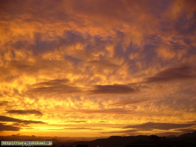
http://slicer93.mbsrv.net/2005101801.jpg
Oct. 19 The earthquake happened off the coast of Ibaragi Prefecture depth 40km M6.2 Seismic intensity 5 lower at Ibaragi Prefecture.
Seismic intensity 4 at Fukusima, Tochigi, and Chiba Prefecture.
-----------------------------------------------------------
10/16 The eastern direction from Obihiro -city, Hokkaido was shot by a reader.
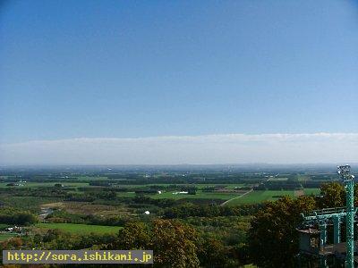
http://slicer93.mbsrv.net/2005101602.jpg
Oct. 16 The earthquake happened at the southern part of Ibaragi Prefecture. depth 40km M 5.1 Seismic intensity 4 in southern part of Tochigi Prefecture.
Oct. 18. The earthquake happened at the coast of Akita Prefecture. depth 20 km M 5. Seismic intensity 3
Oct. 19 The earthquake happened off the coast of Ibaragi Prefecture depth 40 km M6.2 Seismic intensity 5 lower.
Seismic intensity 4 in Fukushima, Tochigi and Chiba Prefecture.
-----------------------------------------------------------
10/16 Northern direction was shot in the morning from Sapporo-city.

http://slicer93.mbsrv.net/2005100801.jpg
In the evening of Oct. 16, 2005 The earthquake happened in the southern part of Ibaragi Prefecture. depth 40km M5.1,
Seismic intensity was 4 at Ibaragi, Tochigi, Saitama, Chiba and Kanagawa Prefecture.
-----------------------------------------------------------
10/8:A reader of Akashi-city, Hyogo Prefecture shot this photo.

http://slicer93.mbsrv.net/2005100801.jpg
Stone god tells this cloud is the earthquake cloud which predicts the earthquake which is going to occur from now on.
The earthquake is not going to occur in Japan?
Oct. 15, 2005 The earthquake happened at the Kuril Islands. depth 10km, M6.2
Oct. 16, 2005 The earthquake happened in the sea near Yonakuni island depth 180km, M6.5 Seismic intensity 3 at Miyako island in Okinawa Prefecture.
10/3:Northern direction was shot from Sapporo-city, Hokkaido.
-----------------------------------------------------------
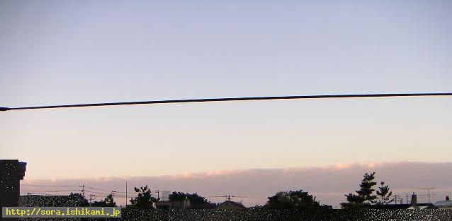
http://slicer93.mbsrv.net/2005100301.jpg
Stone god tells it is the earthquake cloud.
Oct. 7, 2005 The earthquake occurred at off the coast of Akita Prefecture. depth 10 km M4.3, Seismic intensity 2 at Akita Prefecture
Oct. 8, 2005 The earthquake occurred in Pakistan. depth 30 km M7.8
Oct. 9, 2005 The earthquake occurred in Miyagi Prefecture depth 70 km M4.5, Seismic intensity 3 in Miyagi Prefecture
-----------------------------------------------------------
9/14: Northern direction was shot from Sapporo-city.
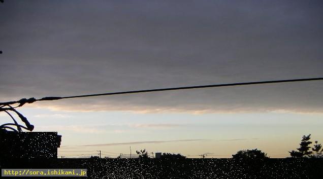
http://slicer93.mbsrv.net/20050914212511.jpg
Sep. 21, 2005 The earthquake occurred at Kunasiri island. depth 100 km M5.9, Seismic intensity 4 at Kushiro
-----------------------------------------------------------
8/27: South Western direction was shot from Sapporo-city
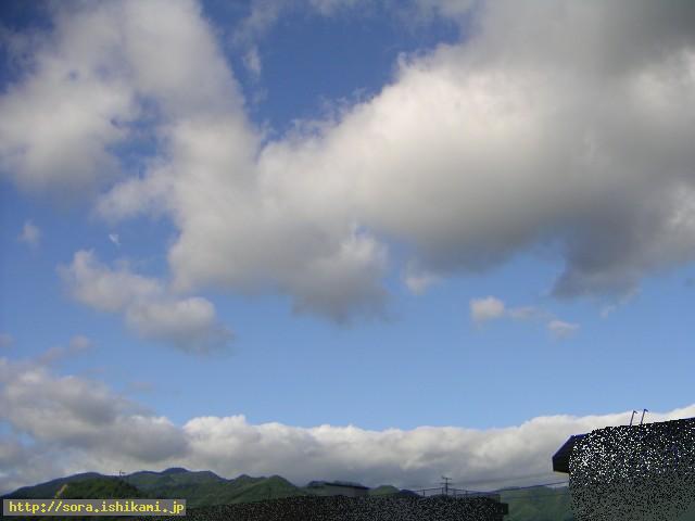
http://slicer93.mbsrv.net/2005082701.jpg
Aug. 31, 2005 The earthquake occurred off the coast of Iwate Prefecture. M6.2
Seismic intensity 3 at Iwate and Miyagi Prefecture, and so on.
-----------------------------------------------------------
8/27:Various clouds were seen on the way to Otaru from Sapporo-city.
As there are many photos I put them in other web page.
■Please click below ■
http://sora.ishikami.jp/image_dir/special/cloud/20050827cloud/
-----------------------------------------------------------
8/22: The north direction was shot from Sapporo-city(east-west direction).
Aug. 23, 2005 The earthquake occurred off the coast of Iwate Prefecture. M62 Seismic intensity was 3 in Iwate, Yamagata, Miyagi, and so on.
-----------------------------------------------------------
8/20:Northern direction was shot from Sapporo-city.(East and west direction)
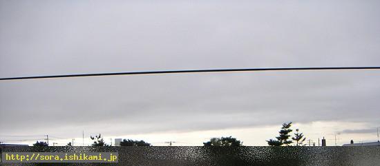
http://slicer93.mbsrv.net/2005082001.jpg
Aug. 21, 2005 The earthquake occurred in Niigata Chuetsu region. M5.0
-----------------------------------------------------------
8/16: The sky above of Mt. Teine in Sapporo-city was shot.
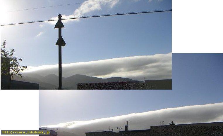
http://slicer93.mbsrv.net/2005081601.jpg
It is the thick cloud which extends from the direction of Mt. Teine.
Many thick clouds extended from west to east when viewed from the plane on 8/15, too.
Aug. 21. 2005 The earthquake occurred on Aug. 21 in Chuetsu district in Niigata Prefecture. M5.0
-----------------------------------------------------------
8/15: This cloud was shot Tama-town in Nagano-city.

http://slicer93.mbsrv.net/2005081501.jpg
Aug. 16, 2005 The earthquake occurred off the coast of Miyagi Prefecture. depth 20 km M6.8 Seismic intensity 6 lower shook Miyagi Prefecture.
-----------------------------------------------------------
8/1: A reader in Yokohama shot this image.

http://slicer93.mbsrv.net/20050801.jpg
The vertical rainbows don't form the rings.= It means bad things.
They say vertical cloud represents the earthquake and the cloud this time shows the vortex.
The stars are also born from the vortex is written in the announcement corner in my web site.
8/7 The earthquake occurred. The epicenter is north west part in Chiba Prefecture. depth 80km M 4.7
Seismic intensity was 4 in eastern part of Kanagawa Prefecture.
-----------------------------------------------------------
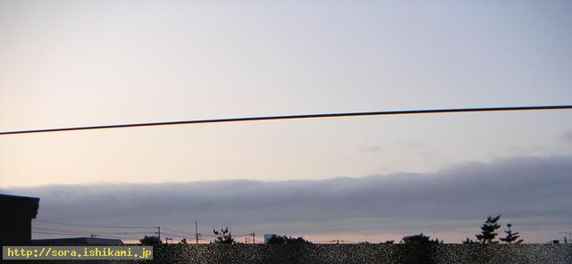
7/2: This photo was taken in Sapporo-city.
http://slicer93.mbsrv.net/20050702.jpg
This cloud extended long to both ends and it kept its shape until it got dark.
The lower part was red with the sun light of the sunset.(more than one hour.)
I got anxious about the messageof last night.
July 3, 2005 The epicenter was in the eastern part of Hidaka-Shicyou. depth 40 km M3.7 Seismic intensity 2 in Hokkaido.
July 3, 2005 The epicenter is the off shore of Iwate Prefecture. depth 60 km M4.1 Seismic intensity 2 in Aomori Prefecture.
July 6. 2005 The epicenter is off the coast of Sanriku. depth 10 km M5.1 Seismic intensity 2 in Iwate Prefecture.
-----------------------------------------------------------
6/29 This photo was taken in Sapporo-city.

http://slicer93.mbsrv.net/20050629.jpg
6/30 about 13:39 South east off Nemuro peninsula. depth 40 km M 4.2.
7/2 (9:32) The earthquake occurred off the coast of Sanriku depth 30 km M5.5
-----------------------------------------------------------
6/17: This photo was taken in Sapporo-city.

http://slicer93.mbsrv.net/2005061701.jpg
6/20 The earthquake occurred in northeast part of Chiba Prefecture. M5.6 Seismic intensity 4
Niigata Seismic intensity 5 lower, Seismic intensity 4, Gifu Seismic intensity 3, Kagoshima Seismic intensity 2, and so on.
There were eleven records of the earthquake.
-----------------------------------------------------------
6/12: This photo was taken by a reader of Gunma Prefecture.

http://www51.tok2.com/home/slicer93190/2005061201.jpg
6/14 The earthquake of M7.4 occurred in the northern part of Chile of South America.
6/15 The earthquake occurred off the coast of California M7.4.
-----------------------------------------------------------
5/24: A reader of my site shot this photo at Shimizu-city, Shizuoka Prefecture.
http://www51.tok2.com/home/slicer93190/s-20050525.jpg
5/25 The earthquake of M4.7 occurred at Bunngo Channel.
-----------------------------------------------------------
5/5: This photo was taken by a reader of my site at Haboro-town in Hokkaido.

http://www51.tok2.com/home/slicer93190/s-20050505.jpg
I was asked to shoot this cloud by Stone god as it is the earthquake cloud.
5/7 The earthquake of M3.5 occurred off the coast of northwest of Hokkaido.
Seismic intensity 1 at Haboro, Hokkaido.
5/8 The earthquake of M4.7 occurred in southern part of Tochigi Prefecture, too.
-----------------------------------------------------------
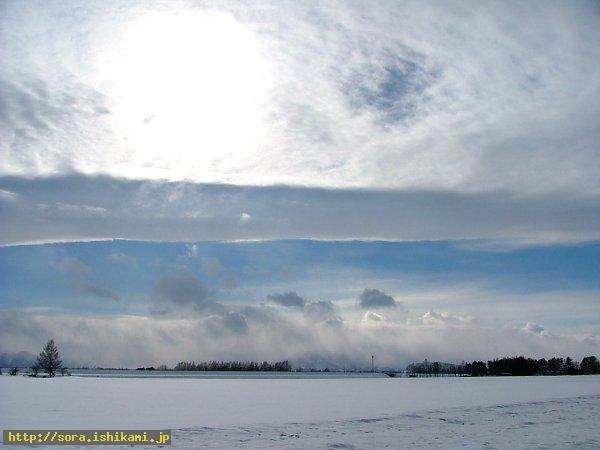
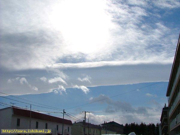
3/30:This cloud was shot by a reader of Obihiro, Hokkaido.
http://slicer93.mbsrv.net/2005033071.jpg
http://slicer93.mbsrv.net/2005033072.jpg
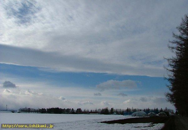
http://slicer93.mbsrv.net/2005033081.jpg
4/4 Off the coast of Fukusima Prefecture. M5.4
4/11 The earthquake of M6.1 occurred in northeast part of Chiba Prefecture.
-----------------------------------------------------------
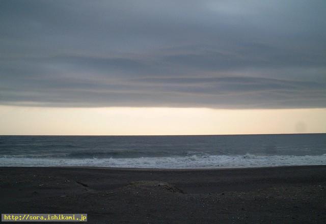
4/1:A reader in Chiba Prefecture shot this photo. (Eastern direction)
http://slicer93.mbsrv.net/2005040110.jpg
4/3 The earthquake of M4.3 occurred in Fukushima Prefecture Seismic intensity 3
4/11 The earthquake of M6.1 occurred in northeast of Chiba Prefecture Seismic intensity 5 higher.
-----------------------------------------------------------
4/1: North direction was shot from Sapporo-city(East-west direction).

http://slicer93.mbsrv.net/2005040101.jpg

http://slicer93.mbsrv.net/2005040102.jpg
4/2 The earthquake of M4.7 occurred off the coast of Kushiro.
(Shari-town. Kushiro-town Seismic intensity1)
-----------------------------------------------------------
3/12: I saw a long and big cloud from the plane which flew from Sapporo to Tokyo.

http://slicer93.mbsrv.net/idx_pict0220.jpg
As there are many photos, I put them in other web page.
■ Please click below■
http://sora.ishikami.jp/image_dir/special/cloud/20050827cloud/
-----------------------------------------------------------
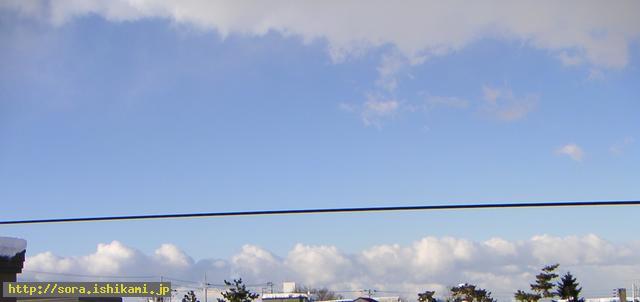
3/3: North direction was shot from Sapporo-city(East-west direction).
http://slicer93.mbsrv.net/20050307144850.jpg
I found a memo which I wrote in the middle of the night the other day.
Round clouds are the sleeping Stone gods were written on the memo. I was told a round cloud is a figure of Stone god and those clouds are extending and they are going to try to inform something by the earthquake. If those clouds form a straight line, it means they can cause the big earthquake like the one caused off the coast of Tokachi. In this case the clouds form the continuous dumplings and those shape show Stone gods are separated with one another.
Therefore those figure show they are going to cause the small earthquakes in many places, I was told.
As was shown by the photos of March 3 there occurred the earthquake of seismic intensity 3 on April 4 at Chuetu, on April 5 in Miyazaki Prefecture.
-----------------------------------------------------------
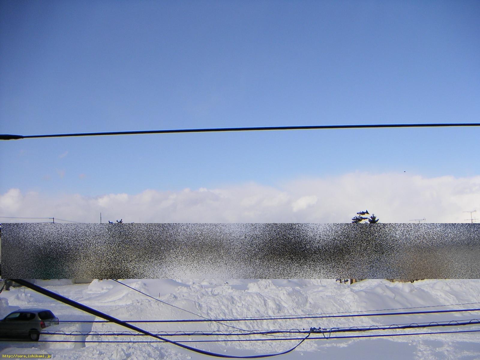
2/11:The north direction was shot from Sapporo-city(east - west direction)
http://slicer93.mbsrv.net/20050211.jpg
2/12 The earthquake of M4.7 occurred in off the coast of Hidaka( Seismic intensity 2 at Hidaka)
-----------------------------------------------------------
1/19:The north direction was shot from Sapporo-city(east - west direction)。
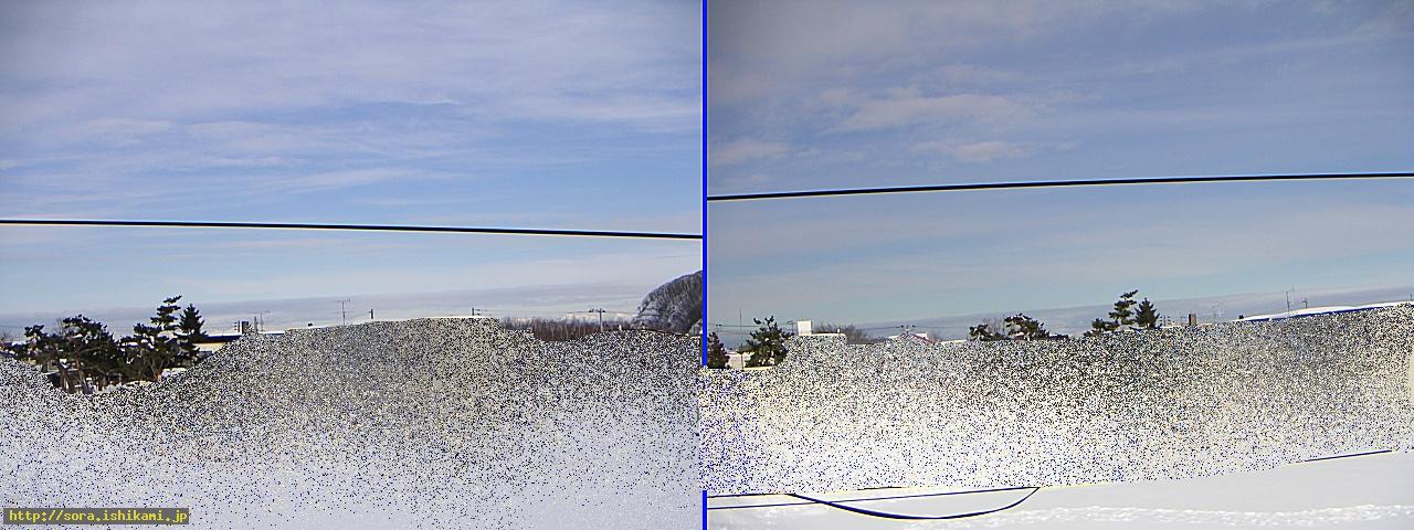
http://slicer93.mbsrv.net/20050119.jpg
The clear dislocation cloud was seen for around half a day from the morning, though it is difficult to distinguish by the photo.
1/20 The earthquake of M4.1 occurred off the coast of Kushiro.
-----------------------------------------------------------
-----------------------------------------------------------
Above from here is for 2005
-----------------------------------------------------------
-----------------------------------------------------------
12/7: Around 16:00 A reader shot this photo at Yokohama
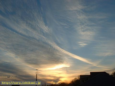
http://slicer93.mbsrv.net/2004120704.jpg
http://slicer93.mbsrv.net/s-2004120705.jpg
Left:It is the face of the being in the sky (?) The being in the sky are getting angry because there are few who accept this information even though they are informed.
Right:The below dislocation shows a small earthquake will occur.
The above dislocation shows the beings in the sky inform.
The right end becomes the shape as if it were the tip of the ship-shape. It shows Stone gods and the beings in the sky proceed in chime.
-----------------------------------------------------------
12/7 A reader shot this photo at Sizuoka Prefecture.

http://slicer93.mbsrv.net/2004120701.jpg
http://slicer93.mbsrv.net/2004120702.jpg
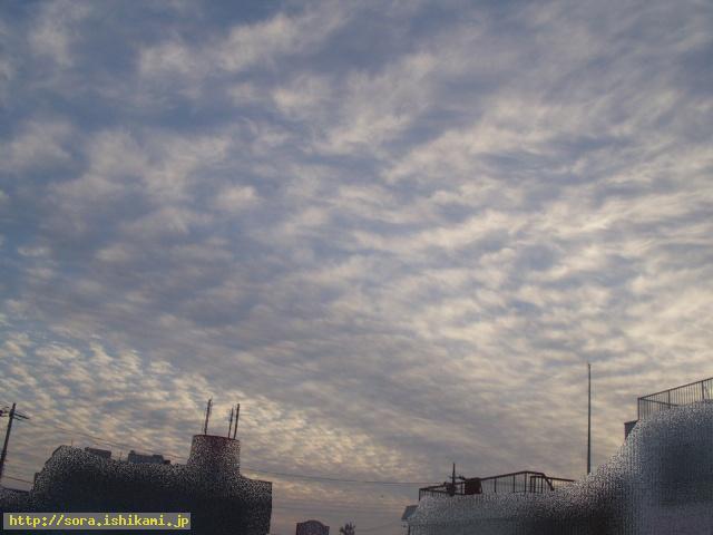
http://slicer93.mbsrv.net/2004120703.jpg
Though I was told through the channeling that the earthquake will be caused in Chiba at first, but Stone gods tell me they will cause the earthquake in Kanto area
When seen from Numazu
Left: South-east direction, Middle: West direction, Right:South direction
-----------------------------------------------------------
12/6: This photo was taken around 15:30 at Sapporo-city.
Stone god tells me he wants to cause an earthquake in Kushiro area.

http://slicer93.mbsrv.net/s-2004120601.jpg
The earthquake of M7 and Seismic intensity 5 higher occurred around 23:15 along the shore of Kushiro after thirty minutes of my writing the above.
-----------------------------------------------------------
11/24: A reader in Nagaoka-city in Niigata Prefecture shot this photo .
Left:Stone gods agreed after the consultation with one another.
Middle: Stone gods are getting angry.
Right:We informed as the scythe for mowing the rice plants is not acknowledged.
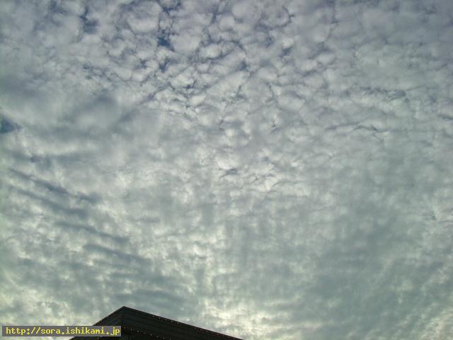
http://slicer93.mbsrv.net/20041124000001.jpg

http://slicer93.mbsrv.net/20041124000002.jpg
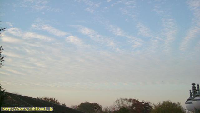
http://slicer93.mbsrv.net/20041124000003.jpg
As The scythe told in this information is not acknowledged, we decided to inform.(The participation of Matsuken Samba to the annual contest between male and female popular singers on New Year's Eve was decided. )
Please refer to Announcements to the readers on Nov. 25, 2004
The aftershock started on 23 again.
-----------------------------------------------------------
10/31: A person in Nagaoka-city, Niigata Prefecture shot this one.
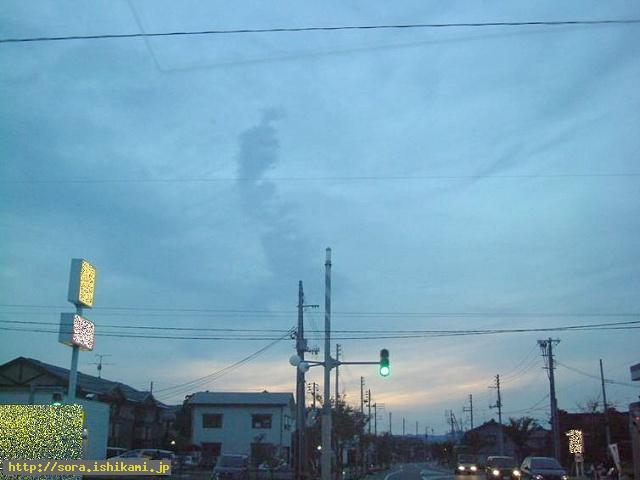
http://slicer93.mbsrv.net/20041031.jpg
Stone god claims this cloud shows an earthquake is to occur in Kanto area.
11/17 I was told Stone gods will not move in Kanto area.
-----------------------------------------------------------
10/25:A person in Minamikannbara-gun of Niigata Prefecture shot this photo from six to eight in the morning.
■Please click below■
http://sora.ishikami.jp/image_dir/special/cloud/20041025cloud/index.html
-----------------------------------------------------------
10/24 (On the next day of the Niigata Chuetu earthquake) A person in Minamikanbara-gun in Niigata Prefecture shot this photo.

http://slicer93.mbsrv.net/20041024.jpg
I got the permission of the reprint from the person who took this photo.
This is the cloud with the same pattern off the coast of Tokachi earthquake.
***********************************************************
「These clouds show that this is the earthquake which cut up with the saw of Stone gods.
It means a part of Stone gods move greatly (=big earthquake). 」
***********************************************************
-----------------------------------------------------------
10/23: Niigata Chuetu earthquake occurred and this kind of clouds are seen in Sapporo-city thereafter, too.
↓Please refer to the link below.
■Please click below■
http://sora.ishikami.jp/image_dir/special/cloud/20041024cloud/index.html
-----------------------------------------------------------
10/16: A reader of Akashi-city in Hyogo Prefecture shot this photo.
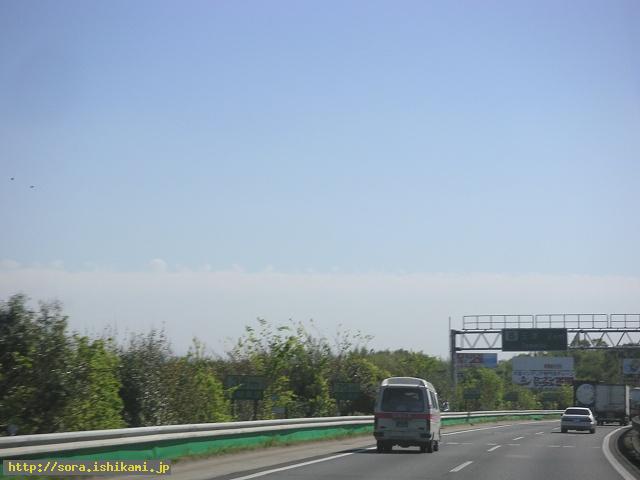
http://slicer93.mbsrv.net/20041016.jpg
This cloud resembles well to the clouds off the coast of Tokachi earthquake which is put in the bottom of this page.
10/16 Though the earthquake of M4 occurred in Akashi-city, Stone god tells it is not the earthquake shown by the cloud introduced in this page.
10/24 Postscript:This might be the earthquake cloud which predicted the occurrence of Niigata Chuetu earthquake.
-----------------------------------------------------------
10/14: The west ward of Sapporo-city, the south direction was shot from the north

http://slicer93.mbsrv.net/20041014.jpg
This is the twisted cloud which is separated once and coalesces into one thereafter.
10/15 The earthquake of M5.5 occurred in the sea near Yonakuni island, Aomori Prefecture.
The Sanhachi earthquake of M4.2 occurred in Kamikita.
-----------------------------------------------------------
9/21: The sky is in the direction of Otaru Sassondou and the time is in the evening.

http://slicer93.mbsrv.net/20040921.jpg
I think I shot this image around 17:30 . As it is the image taken by the camera of cellular phone, it is considerably faded. However it was the amazing scene with orange, red against the pure blue background.
That reminds me of the scene which I remember. I saw the same cloud before and after Great Hanshin Earthquake (Jan 1995). I don't remember the accurate date, though. Though it is a little collapsed, the clouds like waves also appeared in the sky at the time of off the coast of Tokachi earthquake .
9/22 The earthquake M4.8 occurred off the eastern coast of Aomori Prefecture.
-----------------------------------------------------------
2004/09/08-09/09 At Sapporo-city
9/8 Sep. 8 is the filming date.
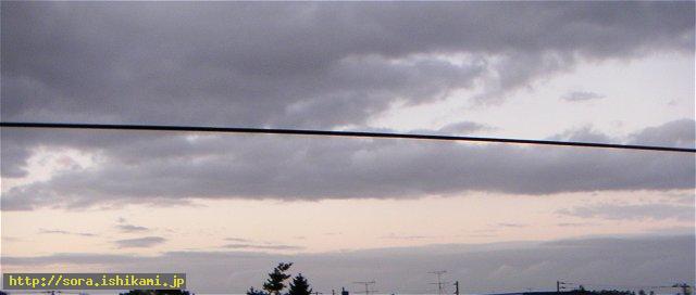
http://slicer93.mbsrv.net/20040908cloud.jpg
I was told the earthquake with Tunami would occur in Honsyu after four or five days of this day off the coast of Tokyo bay(?) but I was told by God of the earth that he stopped
causing the earth..
■He stopped causing the earthquake ■
http://sora.ishikami.jp/diary/index.php?id=20040913085249
9/13 The earthquake of M6.1 occurred in krill island.
9/9 The photo was taken on this day

http://slicer93.mbsrv.net/20040908cloud.jpg
-----------------------------------------------------------
2004/09/09-2004/09/11
As lots of intriguing clouds turned up since the day before, Feature was made.
■Please click below ■
http://sora.ishikami.jp/image_dir/special/cloud/20040911cloud/index.html
2004/09/04 The cloud which extend from north to south from Sapporo-city. A little blurred as the photo was taken while driving.
9/5 The earthquake M6.8 occurred at Kii peninsula.
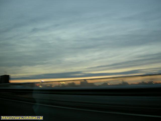
http://slicer93.mbsrv.net/20040905.jpg
-----------------------------------------------------------
2004/08/14 The sky shows the direction from Sorachi-Kannai to Ishikari bay. The sharp dislocation cloud which extends from north-east to south-west.
The image is blurred as it was taken by the camera of the cellular phone. Off the coast of Miyagi Prefecture(?)
8/17 Off the coast of Tokachi the scale of M4-5(Seismic intensity 1-2) The earthquake occurred four times.
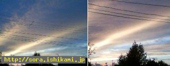
http://slicer93.mbsrv.net/cloud040814.jpg
2004/08/12 From Sassondou to Otaru area The cloud which extends from north-east to south-west.
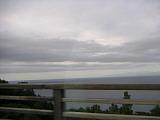
http://slicer93.mbsrv.net/idx_yoichi0812046.jpg

http://slicer93.mbsrv.net/idx_yoichi0812049.jpg
-----------------------------------------------------------
2004/08/07 This photo was taken at Lake Masyu, The cloud which extends from north to south.
The earthquake M3.4 occurred on Aug. 8 off the coast of Miyagi Prefecture. The earthquake of M5.8 occurred off the coast of Iwate Prefecture Seismic intensity 5 lower.
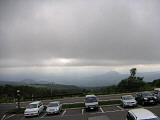
http://slicer93.mbsrv.net/idx_siretoko048.jpg
-----------------------------------------------------------
2004/06/23 This photo was taken by a reader of Obihiro.
6/28(27) The earthquake of M6.7 occurred in Alaska.
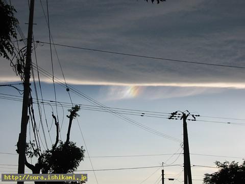
http://slicer93.mbsrv.net/1088596564.jpg
-----------------------------------------------------------
2004/04/21 It was shot at West ward in Sapporo-city
It is the cloud which extends in a straight line from east to west.

http://slicer93.mbsrv.net/20040421.jpg
-----------------------------------------------------------
2004/04/12 It is shot in West ward in Sapporo-city.
Two photos which show the clouds that extends in a straight line from east to west.
I was informed that Stone gods are getting angry.
4/14 Kamchatka M6.2, Tonga M6.0,
4/15 Vanuatu M6.2

http://slicer93.mbsrv.net/20040412sap.jpg
-----------------------------------------------------------
2004/04/10 This photo was taken at West ward in Sapporo-city
Three photos which show the clouds that extend in a straight line from east to west.
Stone god asked me to take the photos of these clouds.

http://slicer93.mbsrv.net/20040410sap.jpg
-----------------------------------------------------------
2004/04/21 This photo was taken in West ward in Sapporo-city
A reader of Asahikawa, Hokkaido shot this photo.
→is west direction,
4/5 The earthquake of M6.6 occurred near the border between Afghanistan and Tadzhikistan, Tonga M6.0
4/9 (Japan 10) Vanuatu M6.5
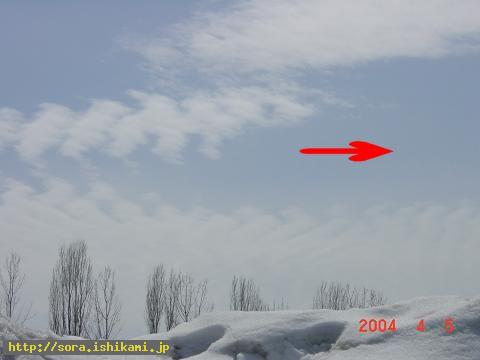
http://slicer93.mbsrv.net/20040405afg.jpg
-----------------------------------------------------------
2004/01/12 A reader in Osaka shot this photo.
It is the clouds which spread outward from south-east. The earthquake may occur in Wakayama area.
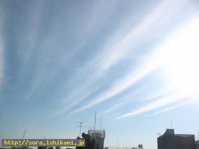
http://slicer93.mbsrv.net/oosaka04011201.jpg
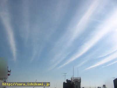
http://slicer93.mbsrv.net/oosaka04011202.jpg
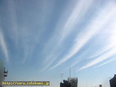
http://slicer93.mbsrv.net/oosaka04011203.jpg
-----------------------------------------------------------
2003/12/14 This photo was taken at West ward in Sapporo-city
It is the cloud which came out in the north direction from the house. It extended from east to west.
12/17 The earthquake of Seismic intensity 3 occurred in Watari island(references)

http://slicer93.mbsrv.net/spr0312141.jpg
It is the cloud which came out in the south direction from the house and it extended from east to west.
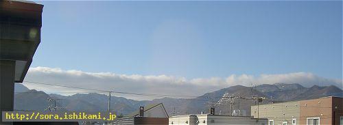
http://slicer93.mbsrv.net/spr0312142.jpg
-----------------------------------------------------------
A reader of my site shot this photo.
It is the clouds seen from Akashi to Shikoku area. They say a fire ball was witnessed at the same time.
12/13 The earthquake of Seismic intensity 4 occurred in Shyoudo island in Kagawa Prefecture.
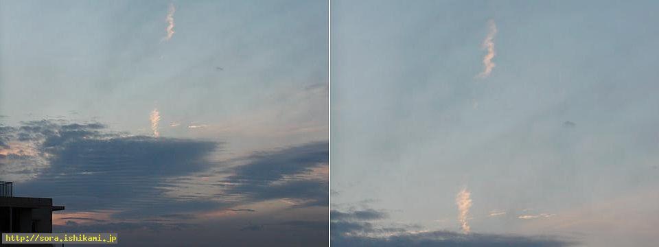
http://slicer93.mbsrv.net/hyougo1209.jpg
2003/11/18(in the morning) A reader of Hyogo Prefecture shot this photo.
It is the cloud which extends outward from Shikoku area.

http://slicer93.mbsrv.net/hyougo1118.jpg
-----------------------------------------------------------
2003/11/18 A reader of Nara Prefecture shot this photo in the daytime.
11/18 The earthquake of Seismic intensity 4 occurred at Nii island and Kouzu island.
11/23 The earthquake of Seismic intensity 4 occurred off the coast of Chiba Prefecture.

http://slicer93.mbsrv.net/nara3.jpg
2003/11/18 A reader of Nara Prefecture shot this photo in the evening.

http://slicer93.mbsrv.net/nara4.jpg
-----------------------------------------------------------
2003/11/18 A reader of Nara Prefecture shot this photo in the daytime.
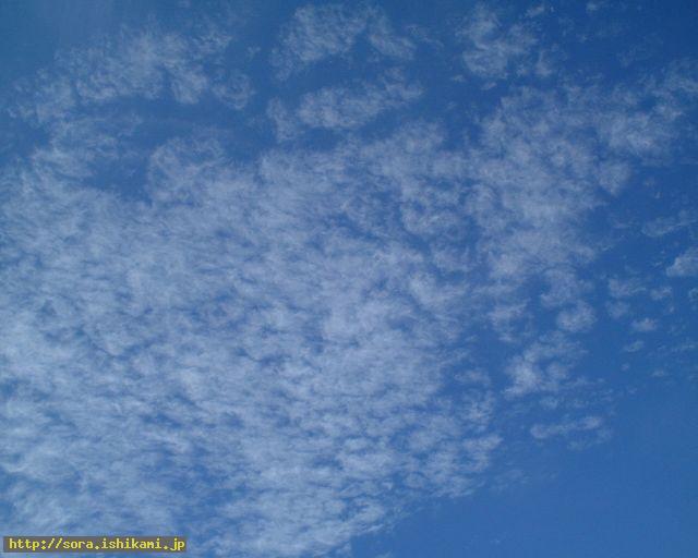
http://slicer93.mbsrv.net/nara1.jpg
-----------------------------------------------------------
2003/11/18 A reader of Nara Prefecture shot this photo in the daytime.
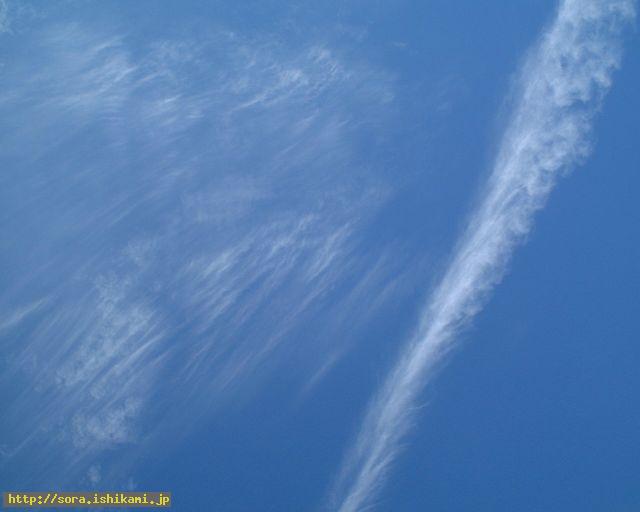
http://slicer93.mbsrv.net/nara2.jpg
2003/10/26 This photo was taken at Fukuoka-city, Fukuoka Prefecture
This is the dislocation cloud which was shot by a person who lives in Fukuoka-city.

http://slicer93.mbsrv.net/1fukuoka.jpg
-----------------------------------------------------------
10/28 The earthquake of Seismic intensity 3 occurred at Izuoho island.
2003/10/25 This photo was shot at Tenri-city, Nara Prefecture.
This is the radial clouds and dislocation cloud which were shot by a person who lives in Tenri-city.

http://slicer93.mbsrv.net/1067083585.jpg
-----------------------------------------------------------
2003/10/25 This photo was shot at Tenri-city, Nara Prefecture.
This is the radial clouds and dislocation cloud which were shot by a person who lives in Tenri-city.

http://slicer93.mbsrv.net/1067083624.jpg
-----------------------------------------------------------
2003/10/25 This photo was taken at Akashi of Hyogo Prefecture.
It is the cirrocumulus which was shot by a person in Akashi.
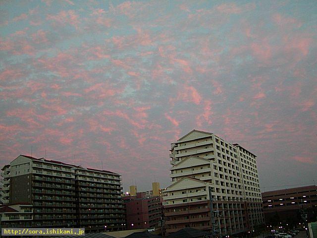
http://slicer93.mbsrv.net/1067076316.jpg
-----------------------------------------------------------
2003/09/21 This photo was taken at Obihiro-city.
This is the photo which was taken by the person in Obihiro-city.
The boundary cloud was shot.

http://slicer93.mbsrv.net/4o_kyoukai.jpg
-----------------------------------------------------------
2003/09/21 This photo was taken at Obihiro-city.
This is the photo which was shot by the person in Obihiro-city.
Boundary cloud No 2

http://slicer93.mbsrv.net/5o_kyoukai2.jpg
2003/09/21 This photo was taken in Obihiro-city.
This is the photo which was taken by the person in Obihiro.
The cloud below passes through the sky right above and it extends to the east.

http://slicer93.mbsrv.net/2o_mauetohigasi.jpg
-----------------------------------------------------------
2003/09/21 This photo was taken in Obihiro-city.
The enlargement of the left cloud which was taken by the person in Obihiro.

http://slicer93.mbsrv.net/3o_higasi.jpg
-----------------------------------------------------------
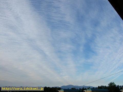
2003/09/21 This photo was taken in Obihiro-city.
This photo taken by the person in Obihiro shows the cloud which extends outward from the western mountain.
http://slicer93.mbsrv.net/1o_housya.jpg
-----------------------------------------------------------
2003/09/21 This is the photo which is shot from Sapporo-city to the direction of the Chitose airport.
9/21 This is the photo which was taken by the person in Asahikawa. It seems to be the earthquake cloud in the daytime.

http://slicer93.mbsrv.net/jk2003092102.jpg
-----------------------------------------------------------
2003/09/21 It is the boundary cloud and the cloud whose border is clear became the one as if waves got up and they moved from the right end to the left side.
I've heard the complaints which were told by Stone gods to me.
They have often said they were not able to stand.
9/26 Off the coast of Tokachi earthquake occurred on that day.

http://slicer93.mbsrv.net/1064361474.JPG
-----------------------------------------------------------
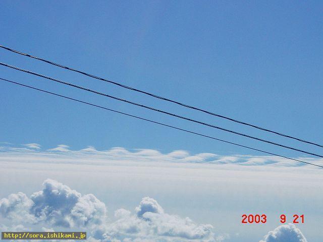
2003/09/21 The direction to Chitose airport was shot from Sapporo-city.
9/21 This is the cloud which was taken by the person in Asahikawa and which seems to be the earthquake cloud in the daytime.
http://slicer93.mbsrv.net/1066201342.jpg
http://slicer93.mbsrv.net/5-868.html
-----------------------------------------------------
Add This Entry To Your CureZone Favorites! Print this page
Email this page
 Alert Webmaster Alert Webmaster
|


